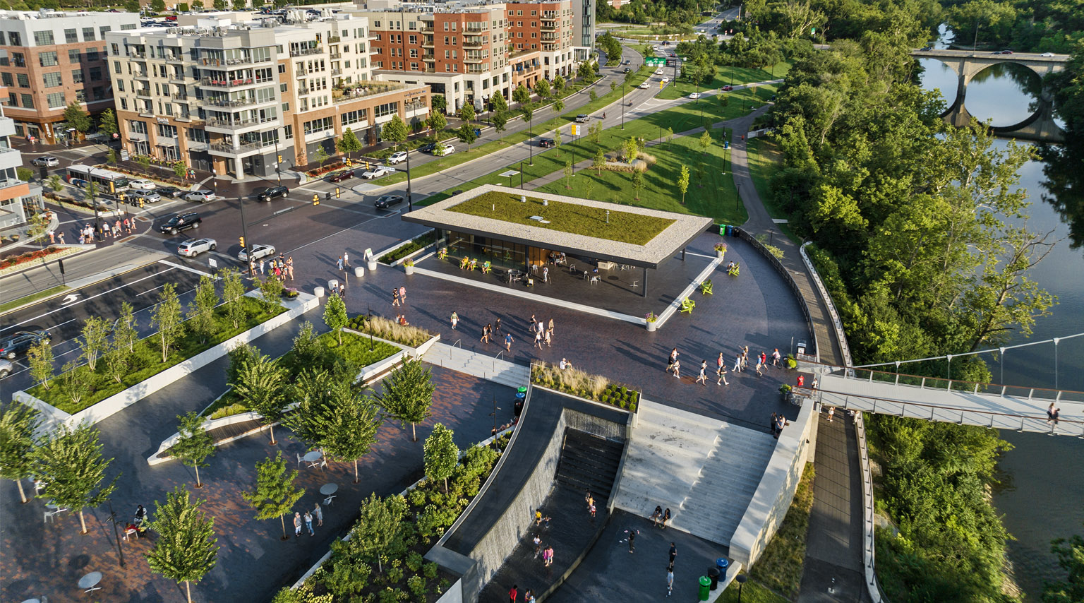
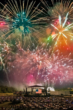
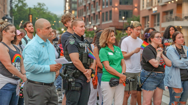
Geographic Information System (GIS) Mapping

Aerial Photo of Dublin

GIS is an acronym for Geographic Information Systems – computer based, map oriented programs, used for managing, analyzing, and displaying data. The power of a GIS lies in its ability to link data to geographic features, store that data in independently viewable layers, and to search and query subsequent spatial relationships within the data.

Maps

GIS Municipal Map

GIS Utility Locator

GIS Physiography

GIS Data Download

Dublin Address Checker

IMPORTANT NOTE : You will need to install the AutoDesk plug-in for the site to work properly. Click open when the window prompts you to open or save this file, it will then proceed to install.


Firefox Web Browser
Internet Explorer Web Browser
Netscape Web Browser
Autodesk Icon
 

Right click on the link and select "Save Link As"

Plug-in only works with Firefox 1.5 or earlier

 
Right click on the link and select "Save Link As"

Page Last Updated: Feb 09, 2010